What we do at precision grade solutions
Explore our range of services designed to help you move forward with confidence, wherever you're headed next.

What We Offer
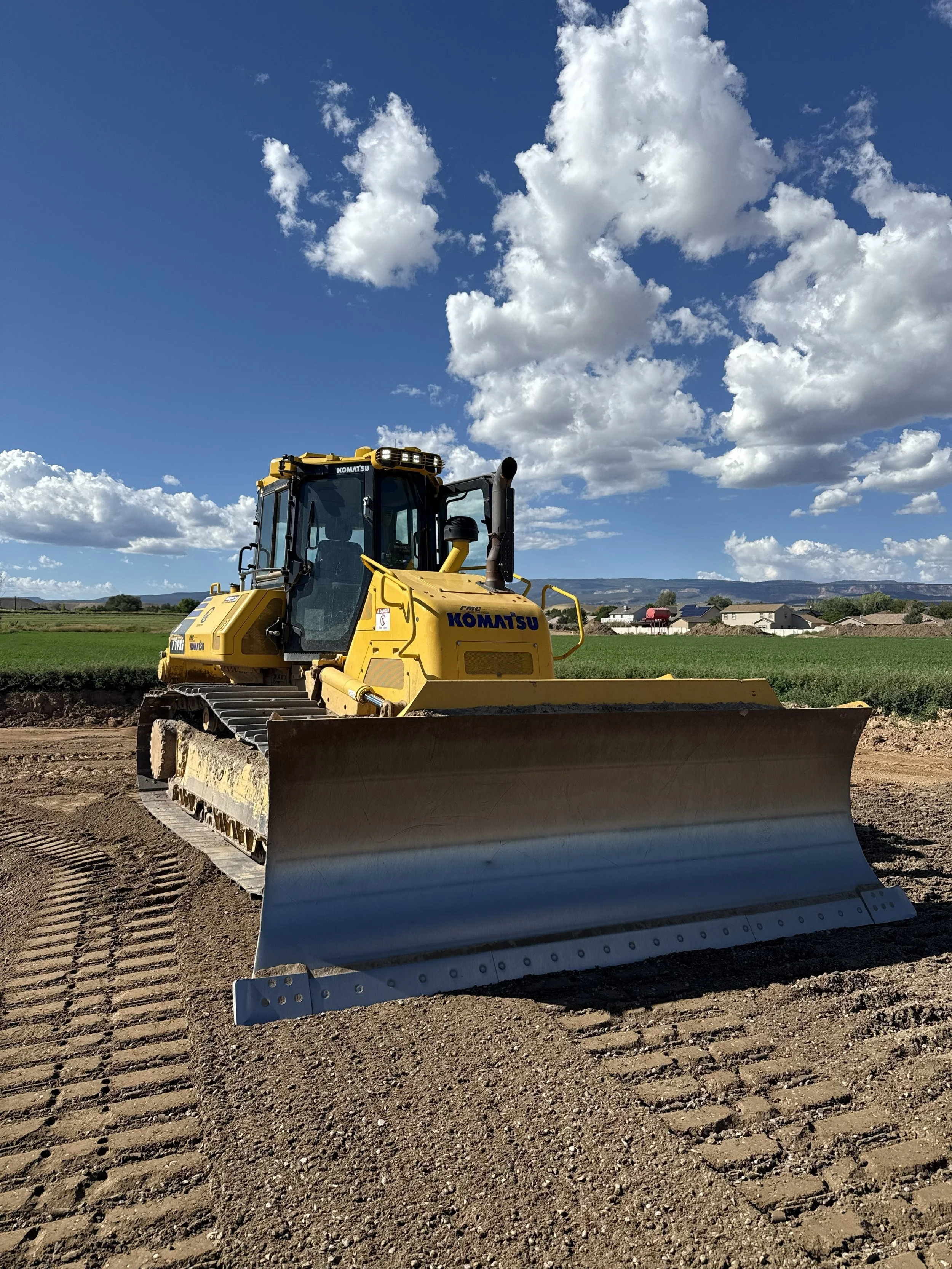
GPS Models: We take your project plans and turn them into accurate 3D digital surfaces that your GPS-equipped machines can follow in the field. Instead of relying on stakes or guesswork, your dozers, graders, and excavators know exactly where to cut, fill, and finish. The result is fewer mistakes, less rework, faster production, and tighter grade control from day one.
Earthwork Takeoffs: We calculate all the material that needs to move on your project, including cuts, fills, import and export quantities, stripping, and more. Our takeoffs provide the accurate numbers you need to bid confidently, plan equipment and trucking efficiently, and avoid costly surprises once construction begins.
Drone Surveying & Aerial Mapping: Our professional drone services provide fast, accurate, survey-grade data for construction, earthwork, land development, and site management projects. Using advanced aerial technology, we deliver high-resolution imagery, topographic maps, 3D terrain models, stockpile volume calculations, cut-and-fill analysis, and progress tracking. By combining aerial data collection with our grading expertise, we help you monitor site conditions, improve project visibility, and make informed decisions throughout every phase of construction.
How It Helps You: Together, our GPS modeling, earthwork takeoff, and drone mapping services give you a complete digital view of your project before and during construction. You get:
Accurate bids and estimates
Reliable earthwork quantities
Survey-grade site data and measurements
Machines that grade right the first time
Reduced staking, rework, and downtime
Real-time project tracking and progress monitoring
Better production, improved efficiency, and smoother jobsites
In short: We provide the data, technology, and actionable insights you need to plan better, build faster, and complete projects with confidence.